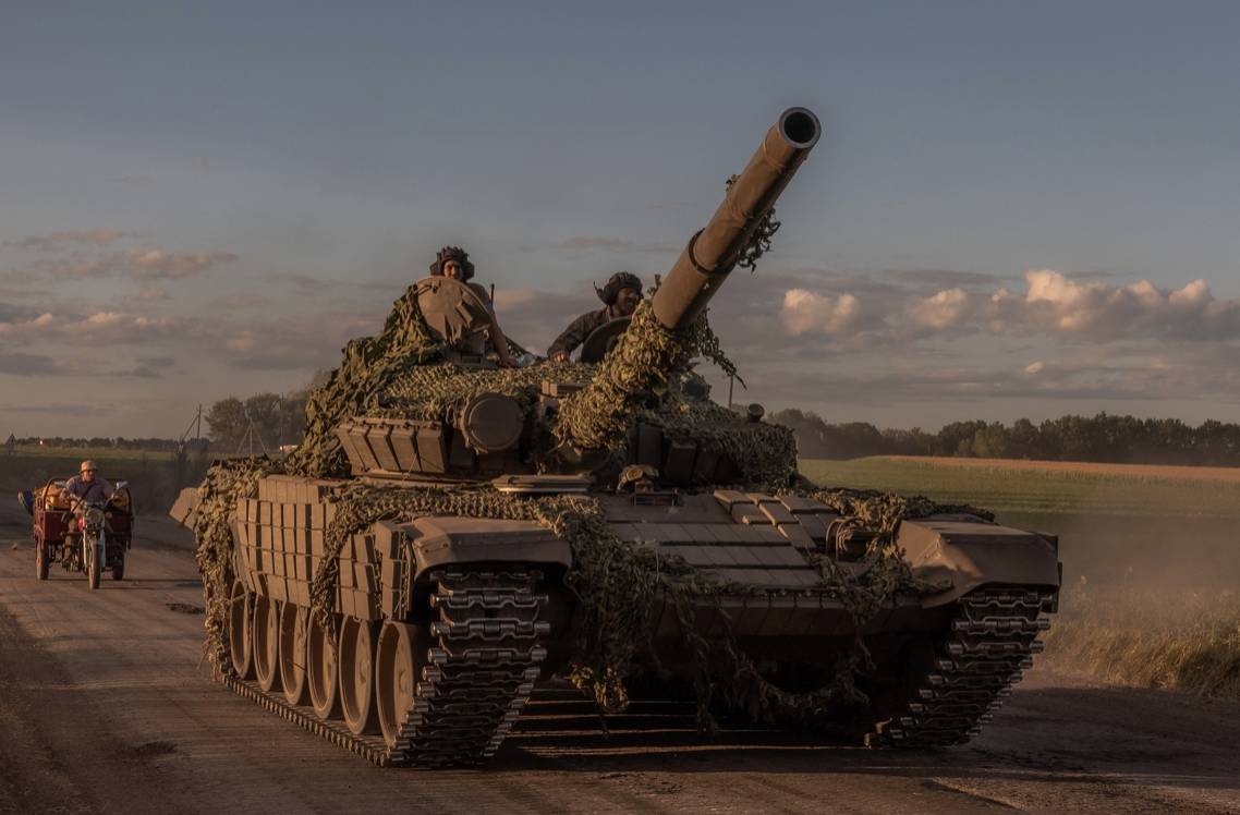
Ukrainian soldiers on a Soviet-made T-72 tank Photo: Roman Pilipey / AFP
The Ukrainian military has made significant gains on the eastern front within Russia’s Kursk region, according to the latest data from the Institute for the Study of War (ISW). Geolocation footage released on 26 October confirms the advance of the Ukrainian Armed Forces (UAF) east of Korenevo and Sudzha, where Ukrainian troops are currently under active ground attacks.
According to ISW’s analysis, Ukrainian forces are moving southwest of Olhivka, located east of Koreneve, and east of Kolmakove, located east of Sudzha. This offensive is aimed at further strengthening the positions of the Ukrainian Armed Forces in an area that has long been an object of strategic interest to both sides.
The information is confirmed by Russian sources, who report that Ukrainian troops are advancing south-east of Koreneve in the area of Zelenyi Shlyakh, Novoivanivka, Daryne, Nyzhniy Klyn, Pohrebky and Nikolayevo-Daryne. Similar reports have been received from the area south-east of Suzha, in particular from the area of Plykhovo.
At the same time, ISW emphasises that Russian forces have also made some progress within the Ukrainian advance in the Kursk region. According to them, Russian troops have recently advanced southeast of Martynivka, which is located northeast of Sudzha. This advance is one of the first instances of localised Russian reinforcement in the area noted by ISW.
In addition, Russian sources reported an evening offensive by the Ukrainian Armed Forces on 26 October in the area of Novy Put in the Glushkovsky district, which is located west of the main Ukrainian advance in the Kursk region. This activity on the western front may indicate an expansion of the combat zone and Ukraine’s attempts to increase pressure on Russian positions from various directions.
ISW continues to monitor the situation, analysing data from open sources and geolocation imagery that confirms the dynamic movement of forces on both sides.


